


20190116 Le Thoronet rando réelle

Sugg
User
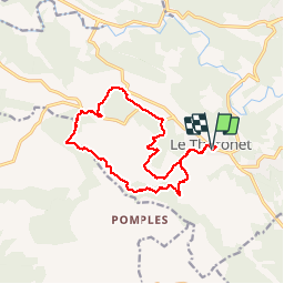

Length
16.4 km

Max alt
309 m

Uphill gradient
421 m
Km-Effort
22 km

Min alt
137 m

Downhill gradient
422 m
Boucle
Yes
Creation date :
2019-03-22 16:57:36.965
Updated on :
2019-03-22 16:57:36.965
6h25
Difficulty : Unknown

FREE GPS app for hiking
 SityTrail
IGN / Geographical institutes
SityTrail Plus
The world is yours!
About
Trail Walking of 16.4 km to be discovered at Provence-Alpes-Côte d'Azur, Var, Le Thoronet. This trail is proposed by Sugg.
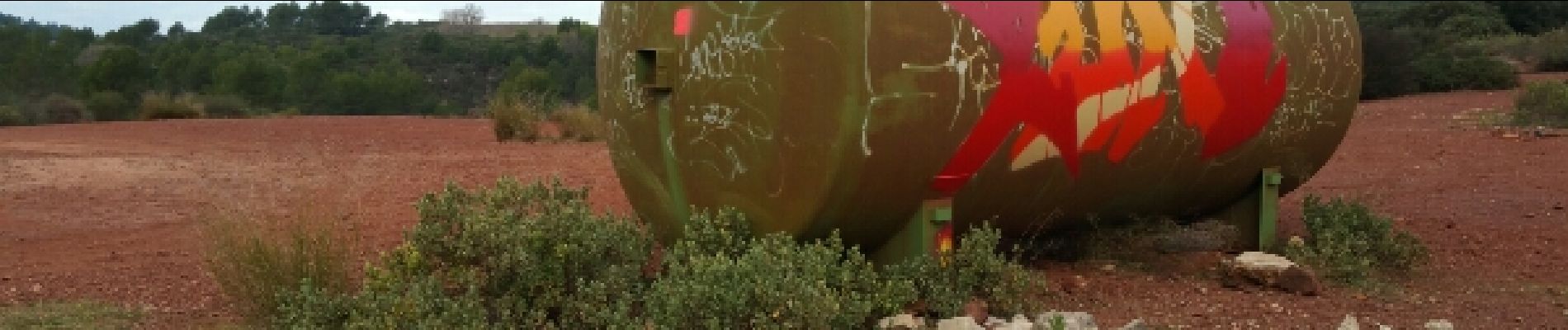
Photos


Positioning
Country:
France
Region :
Provence-Alpes-Côte d'Azur
Department/Province :
Var
Municipality :
Le Thoronet
Location:
Unknown
Start:(Dec)
Start:(UTM)
281783 ; 4814460 (32T) N.
Comments